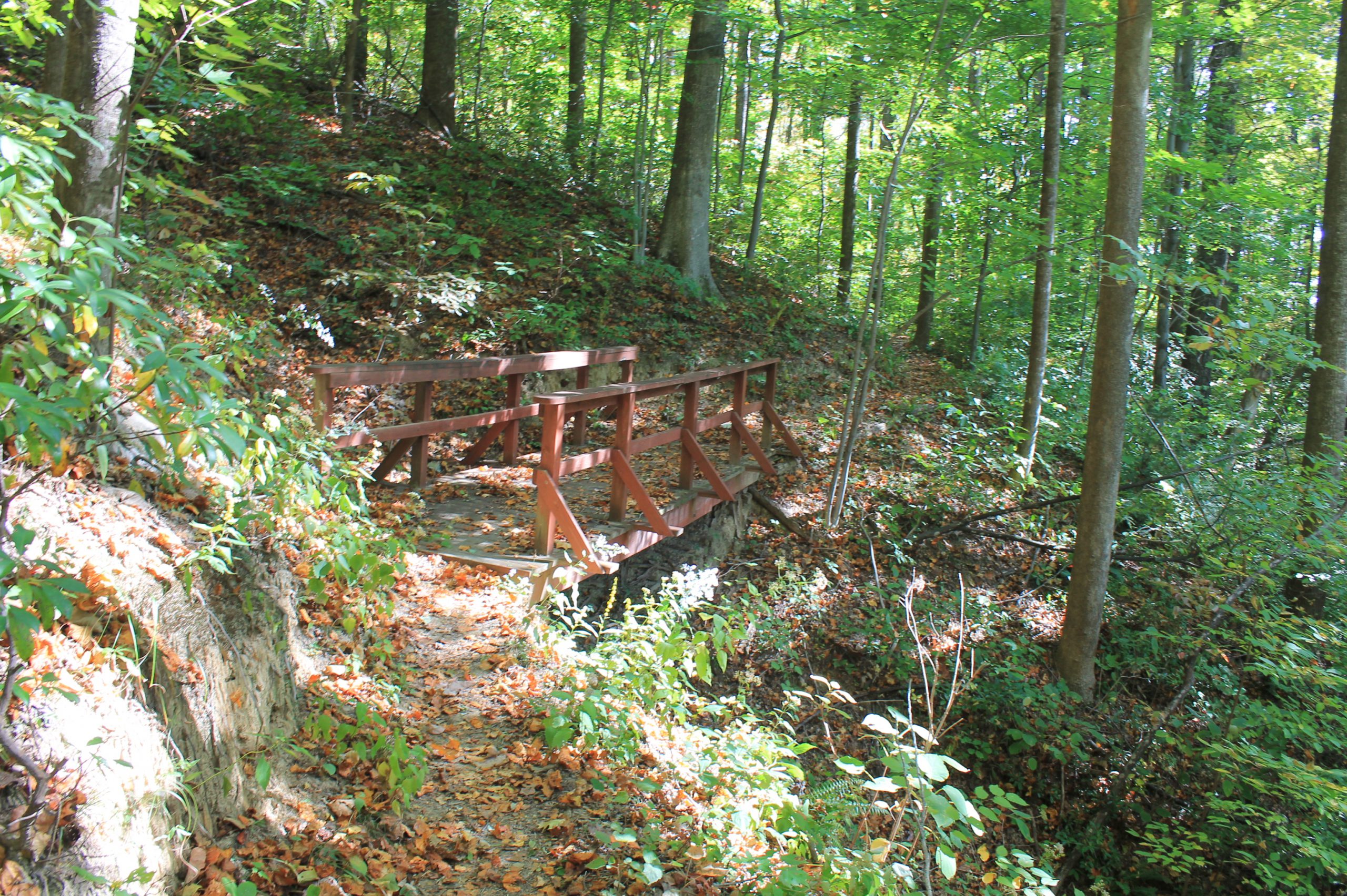


This 185 acre preserve is located between between Saluda and Tryon. The trails take you to features including a drip falls, sheer cliffs, and a viewpoint
across the river valley.
Length: The most popular hike goes to the drip falls, which is about one mile each way (two miles out and back). If you include the spur trail to the cliffs,
there are a total of 1.3 miles of trail (2.6 miles round trip).
The blue and yellow trails are moderate. The red trail to the cliffs is steep and strenuous.
The most popular hike in Norman Wilder Forest leads to the drip falls. From the parking lot, follow the blue trail markers to the yellow trail markers
for a moderate, 2-mile round-trip out and back hike. (Previously, the yellow trail formed a loop around the drip falls, but this section of trail was
seriously damaged in the 2018 landslides. The yellow trail has been rerouted as an out-and-back.)
For a more strenuous hike, follow the red trail markers (from the intersection with the blue and yellow trails) uphill to see the rock cliffs. This spur
trail adds another 0.6 miles round trip to your hike.
For more info check out Conserving Carolina’s page on the preserve.
https://conservingcarolina.org/norman-wilder-forest/
WHERE: Hwy. 176 between Saluda and Tryon, near Edney Road.
DIRECTIONS: Look for a sign that says “Norman Wilder Forest” in yellow lettering on a split rail fence on the north side of the road (the side opposite the river). There is a small gravel parking area at the trailhead. From Hendersonville: Take I-26 East. Take exit 59 with signs for ‘Saluda 176.’ Turn right on Ozone Drive. Go approximately 1 mile. Turn left on Hwy 176. Continue on 176 to the parking area on the left side of the road, near Valhalla, just past Tau Rock Vineyard Road. From Spartanburg: Take I-26 West. Take exit 67 with signs for ‘Tryon Columbus.’ Turn right into traffic circle. Continue across the bridge and exit right out of the circle, onto Hwy 108, toward Tryon. Then take Hwy 176 west toward Saluda. You will find the parking area on the right, just past Riverview Road.
Hopefully you won’t ever need to use it, but what happens if the batteries in your GPS are dead?